Trails change. Stay current.
Trail conditions, closures, and permits change faster than any map. DynamicTrail is the living record your club and riders actually trust.
Free to use, offline maps included. See every feature and what it costs, or Premium is $49.99 a year and adds the map to your dash.
Real conditions. Right now.
Washouts, mud, closures and reroutes reported from the field the moment they happen, and on the map before the next rider leaves the trailhead.
Club-governed. Member-trusted.
Trail Masters approve what's official. Members contribute what they find. Riders see what's verified.
Works where signal doesn't.
Your region's map downloads once, about 100 MB. Trails, closures and hazard pins keep working with no bars — free, because the woods are exactly where you need it.
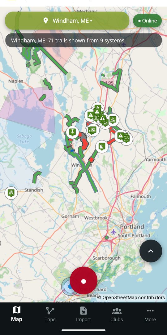
The club's map, in your pocket
Every trail on it is one a local club marked official. Every closure on it is one they put there. Tap a trail for its status, its length, and what is wrong with which stretch of it.
- Snowmobile, ATV, side-by-side, dirt bike, oversized ATV, tracked ATV, tracked UTV, snow bike, mountain bike, e-bike, hiking and cross-country ski
- Record your rides, or bring years of them in from GPX and KML you already have
- Ride together with live positions, and share a finished ride with a code
- Report a hazard, submit a trail, suggest a fix — all free
- On your dash with Premium: Android Auto and Apple CarPlay put the map and recording controls on the head unit — in the truck or built into the machine